Beech woods and a windmill inspired by Lolly Willowes
Planning this walk gave me the excuse (not that I need one) to spend a lot of time looking at maps. Lolly Willowes (Sylvia Townsend Warner) tells the story of a woman who, on reaching middle age, leaves behind her safe and dull life in 1930s London to move to a secluded hamlet in the Chilterns. There she discovers her vocation as… a witch.
The lure of the earth, nature and woodlands in particular feature a great deal in Lolly Willowes. Laura Willowes (known to her family as Aunt Lolly) is initially spurred to move to the Chilterns after impulse buying a bunch of garnet-coloured chrysanthemums, which come with sprays of beech leaves. The smell of the leaves unlocks something in Laura:
“She sniffed. [The beech leaves] smelt of woods, of dark rustling woods like the wood to whose edge she came so often in the country of her autumn imagination.”
She finds the perfect place to relocate to in Great Mop, described as ‘a secluded hamlet in the heart of the Chilterns’. It is close to hills, footpaths, beech woods and a parish church with a Norman tower. There is a ruined windmill nearby, and a farm with the wonderful name of Scramble through the Hedge.
After checking that Great Mop doesn’t actually exist, this gave me a nice challenge. To find somewhere in the Chilterns that met Lolly’s description. Beech woods, hills and footpaths abound in the Chilterns. It is also an area with associations with paganism; the notorious Hellfire Club met in caves at West Wycombe. After much poring over OS maps of the area, I began to home in on the area around Hambleden. There is a windmill at nearby Turville – no longer abandoned, it was renovated for its appearance in the film of Chitty Chitty Bang Bang. There is also fine Norman church at Fingest. The deal was sealed when I discovered the pub in Hambleden is called The Stag and Huntsman; the alternative title of Lolly Willowes is The Loving Huntsman.
Lolly’s practice of witchcraft takes a relatively sedate form. She mainly uses her powers to make life intolerable for her nephew, who has annoyingly followed her to Great Mop, such that he packs up and leaves. She’s a woman who enjoys solitude and simple pleasures, like eating marron glace, second-hand bookshops and looking at maps. Buying a map of the Chilterns she specifies it ‘must be very detailed and give as many names as possible’. The evening after a less than enjoyable walk she studies her map:
“She was enchanted afresh by the names and the bridle-paths, and, forgetting the blistered heel and the dissatisfaction of that day’s walk, planned a new walk for the morrow.”
A woman after my own heart.
Ramble #8
Map and Route: OS Explorer 171 Chiltern Hills West. You can see the route I took here.
Distance: 15k or 9 miles.
Time: Took me just under five hours, including visits to all three churches and a leisurely picnic lunch.
Start: Hambleden village. There is plentiful car parking at the Stag and Huntsman.
Route:
Turn left out of the car park and walk through the village passing the church and the post office on your right. Cross a small stream to reach the main road. Cross over and take the footpath with metal handrails opposite. Follow the path uphill. Just as the path ahead starts to descend, turn right, then right again at the junction of paths to continue along the wooded hillside. Keep a look out for deer and red kites. The Chilterns is one of the best places to see red kites in the UK and I was amazed at the number I saw on this one walk.

At the edge of the woodland, turn left to climb uphill. Continue over the top of the ridge in the open and then re-enter woodland. At a crossing of forest tracks, turn right as directed by the fingerpost. Shortly, leave the forest track to take a footpath left through the trees as indicated by a white arrow marked on one of the trees (although the path joins the forest track again shortly). This part of the route follows Shakespeare’s Way, a long-distance route ‘Twixt Stratford upon Avon and The Globe’.

The route dips down to a path junction. Continue roughly ahead on a waymarked track, climbing up again. Exit the wood and cross fields on a narrow tree-lined path. Pass the delightfully-named Squirrel Cottage to emerge onto a lane. Turn right and walk along the lane to the T-junction. Leave the lane taking the footpath ahead.
Go straight across the field and into the woods again. Continue straight on at a crossroads of paths, through a kissing gate and out of the woods into a large field with fine views. Follow the hedge line on your left looking out for a stile. Don’t go over the stile but leave Shakespeare’s Way to head diagonally right across the field towards trees. Go through a kissing gate and down through holly. Go through another gate and across a field to a narrow lane. Turn right here; the route now picks up another long-distance path, the Chiltern Way.

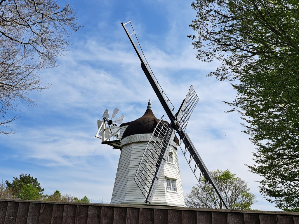
Continue along the lane and over a stile at Southend Farm. Here you have the first glimpse of the windmill in the distance, with the line of the path dipping and rising ahead. Follow the path steeply down, cross straight over the road and continue down into Turville, ignoring paths joining on the right and left. Follow the lane down into the village centre. The pretty church of St Mary with its squat tower and built largely of flint is worth a closer look.
Leave the village on the signposted footpath opposite the phone box. The path is a steep pull up to an open field next to the windmill. The windmill is privately owned and behind a high fence but the adjacent field has great views back across the valley and is a good spot for a picnic. Leave the field through the kissing gate next to the windmill and head right along the lane. Take the footpath on your left by the ‘Keep in low gear’ sign to walk through a corner of beech wood and then down a path between houses to emerge on a lane in Fingest.

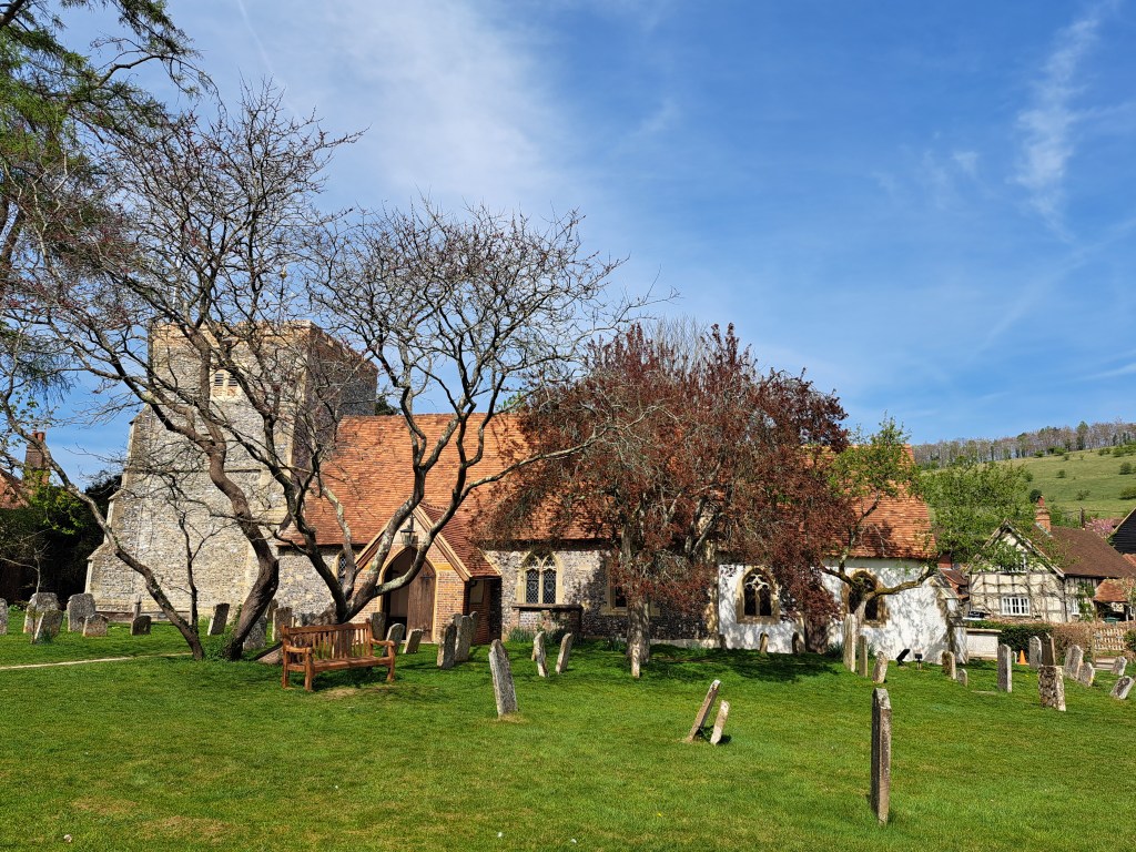
St Bartholomew’s, Fingest, with double-gabled tower
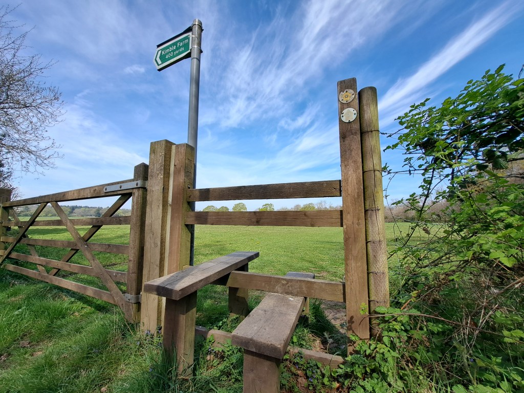
Turn left to visit the handsome Norman church of St Bartholomew, which has an unusual double-gabled tower. Otherwise, turn right along the lane. Where the road bends left at a triangular patch of grass, take the right-hand fork. Continue along the lane for a short distance then, where a road joins on the right, go through a gap in the hedge on the left and diagonally across the field. Cross a further two fields, which were very wet in places (I notice from the map a nearby track is called ‘Watery Lane’) to emerge at a road. Turn right and on into Skirmett.
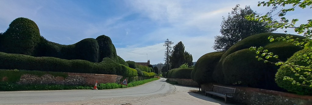
Continue along the road through Skirmett to the T-junction at the end of the village. Turn left and almost immediately right to pick up the Chiltern Way again. The route back to Hambleden from here is straightforward. Follow the footpath over several wide fields, over a farm track, through a patch of young trees, across a lane and along a tree-lined path between fields. Emerging by Colstrope Farm, follow the lane ahead past undulating topiary hedges for a short way before leaving the lane where it bends right.
Continue ahead along the Chiltern Way between fields and behind gardens at Pheasants Hill. You know you are nearly back as the square tower of Hambleden church comes into view. On reaching the lane at Hambleden, turn left to return to the village.
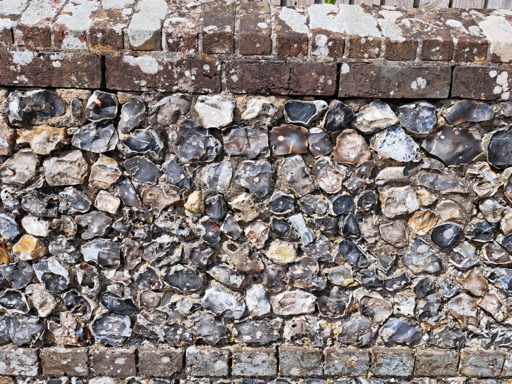
Verdict: Watching the many red kites was the highlight of this walk for me. The villages visited are chocolate box pretty and I particularly liked the brick and flint walls so characteristic of the area. There are some steep climbs in the first half, particularly up to the windmill, but then it’s an easy flat romp home from there. I did this walk on a blazing hot late spring day; finally getting around to posting the blog in October feels appropriate though given the autumnal atmosphere of Lolly Willowes.

Leave a comment